Arsenic Contamination
Arsenic contamination is a global issue causing severe health problems due to exposure from contaminated water and food sources.
View ResourceCapabilities NSDI.
The perfect tool for digital Bangladesh!
NSDI enables the management, sharing, and utilization of geospatial data at a national level.
It encompasses policy and governance, capacity building, citizen engagement, and innovation for economic development.
View More ⟶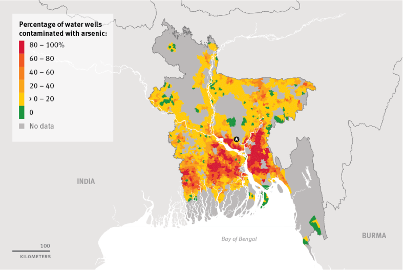
Arsenic contamination is a global issue causing severe health problems due to exposure from contaminated water and food sources.
View Resource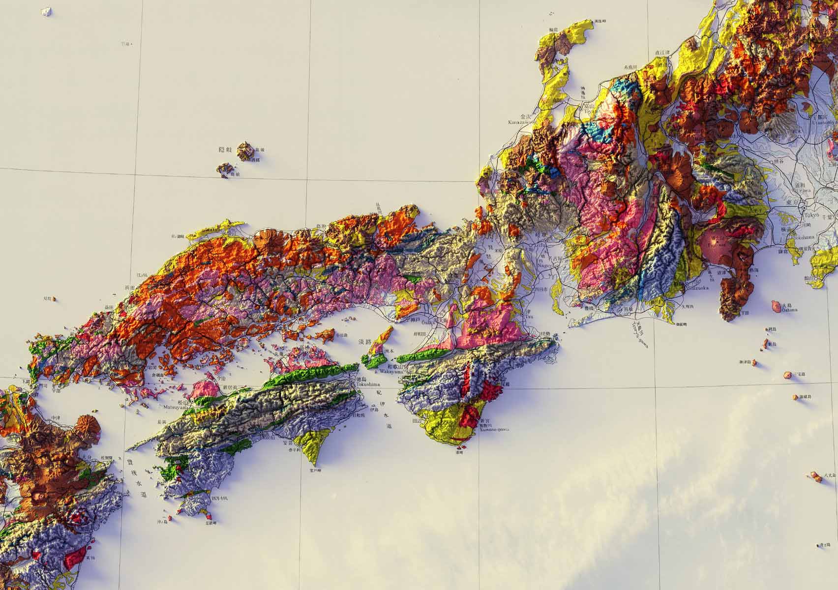
Digital Elevation Model (DEM) is a 3D representation of Earth's surface that provides information on its topography and elevation.
View Resource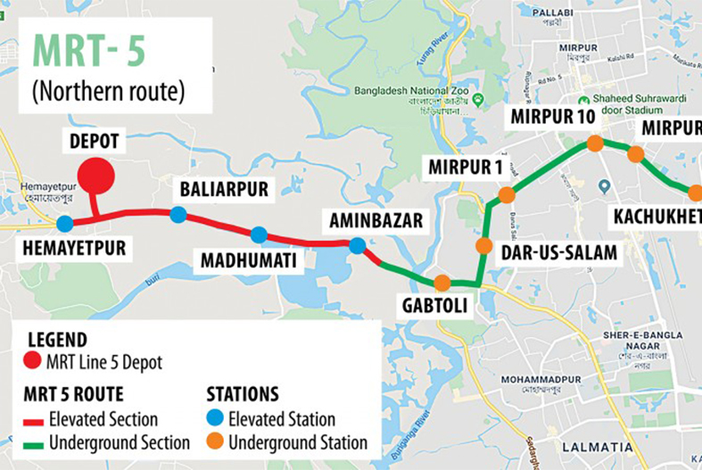
Dhaka Metro Rail is an urban transit system, connecting major areas of the city with a fast, affordable mode of transportation.
View Resource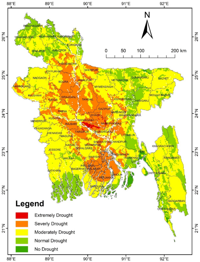
Agricultural drought in Bangladesh leads to crop failures, food insecurity, and loss of livelihood for millions of farmers.
View Resource
Bangladesh has a high population density of over 1,100 people per square kilometer, making it one of the most densely populated countries.
View Resource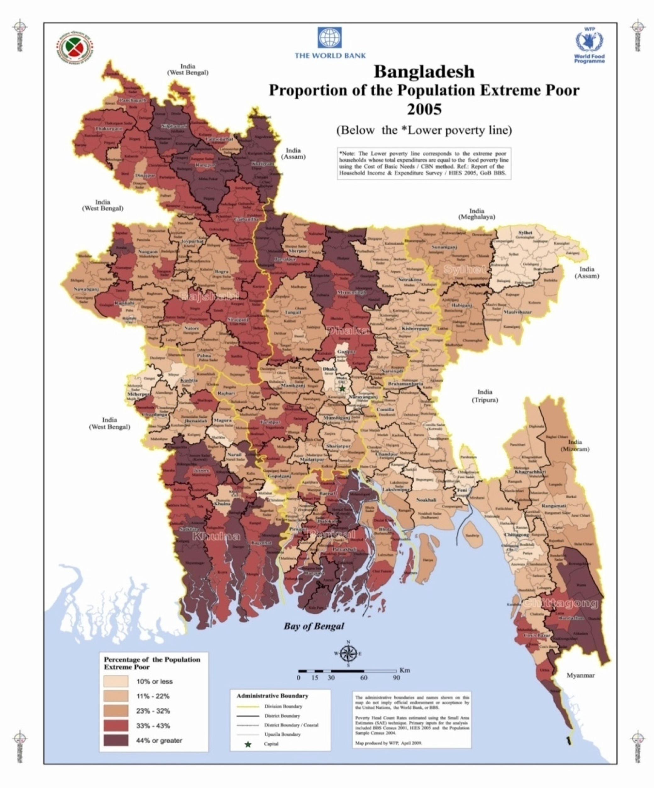
Poverty is a persistent issue in Bangladesh, with about 20% of the population living below the national poverty line.
View ResourceProvide access to reliable and accurate geospatial data through a network of data producers, users, and intermediaries.
Coordinating with national and international organizations to ensure that geospatial data is shared globally and that Bangladesh data is compatible with international standards.
Encouraging the development of new geospatial technologies and applications that can improve decision-making and support the nation's economy.
